
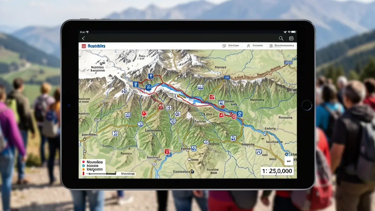
This mapping initiative inventories all natural risk phenomena across the entire Pyrenean chain. It synthesizes current knowledge on avalanches, torrential floods and inundations, landslides, rockfalls, collapses, and erosion. The resulting map is informative and produced at a 1:25,000 scale.
The CIPRIP is publicly accessible through the PICTO platform (Interministerial Portal for Territorial Knowledge in Occitanie). This platform is used by the DREAL Occitanie for data dissemination. Users can access the CIPRIP by following this link: CIPRIP.