The departments of Gironde and Charente-Maritime are involved in the monitoring of the Gironde estuary. Sections such as "Estuaire de la Gironde", "Confluence Garonne-Dordogne", and "Garonne-Girondine" are currently under surveillance.
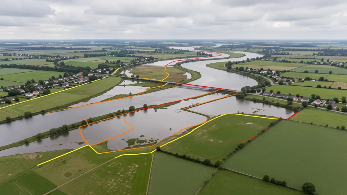
For the Upper Garonne (between La Réole and Langon), four height scenarios have been produced. On the Middle Garonne (between Langon and Podensac), five scenarios have been established, ranging from a yellow event (8.45m at Langon Airbus) to a red event (14m at Langon Airbus and 11.7m at Cadillac). A new study is underway for the modeling between Arbanats and Cadillac, as previous ones did not yield reliable scenarios.
Regarding the Lower Isle (between Saint-Antoine de L’Isle and Libourne), four height scenarios have been produced at the Abzac station level, ranging from 2.50m (yellow event) to 4m (orange event).
For the Lower Dronne (between Les Eglisottes and Coutras), four scenarios have been modeled at the Coutras station level, with levels ranging from 2m (yellow event) to 3.50m (orange event).
Finally, for the Lower Dordogne (between Pessac-sur-Dordogne and Libourne), four height scenarios have been produced at the Pessac-sur-Dordogne station level, varying from 6.50m (yellow event) to 8.75m (red event).