
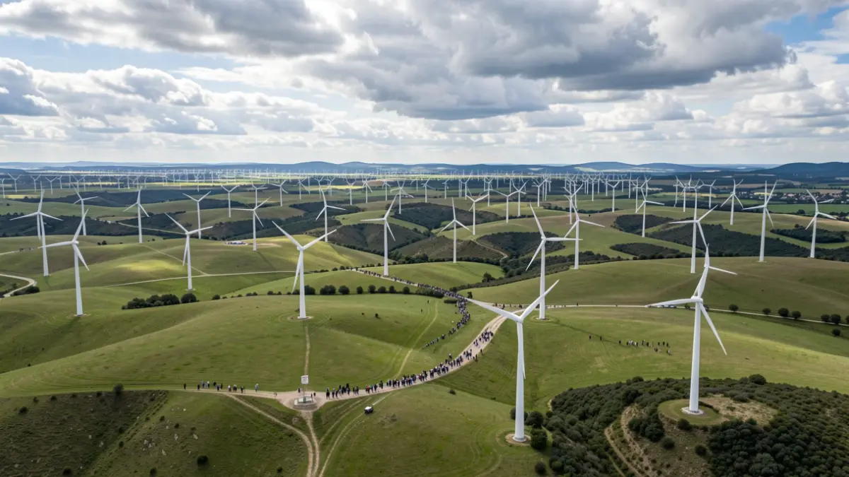
Information concerning renewable energies, and more specifically wind farms located in Nouvelle-Aquitaine, can be consulted on the SIGENA platform, the State's geographical information service. This portal offers access to geospatial data related to these installations.
An interactive map of wind farms is available at the following address: carto.sigena.fr. Users can view the position of masts and wind farms there. It is also possible to download this data by clicking on "Gestion des couches" (Layer Management) in the green ribbon on the left of the map, then selecting the desired layer and the "Télécharger la donnée" (Download data) option.
A regional map of wind farms in Nouvelle-Aquitaine is also provided in PDF format, weighing 2.3 MB, accessible via the link: Map of wind farms in Nouvelle-Aquitaine.
For related information, other data is available, such as the location of quarries in Nouvelle-Aquitaine, accessible on Infoterre, as well as key figures for housing in 2026, which indicate that the region accounts for 10% of the housing stock in metropolitan France.