
Limoges Métropole launches interactive map of works

A new digital tool allows users to view ongoing construction sites and their impact on traffic across the community's territory.

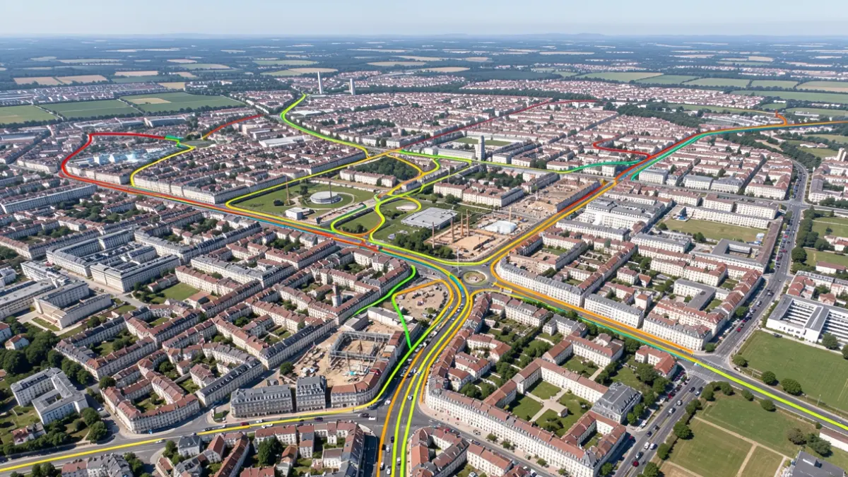
Generic image of an interactive map showing urban works and traffic.
AI

Generic image of an interactive map showing urban works and traffic.

Starting November 18, 2026, Limoges Métropole is providing users with a new interactive map detailing construction works in its area to facilitate traffic flow.

To ease circulation within its territory, Limoges Métropole offers a new interactive map of ongoing works, accessible via its website. This tool allows users to be informed about current construction sites across the entire community and their impact on traffic.
All construction sites lasting 3 days or more, scheduled within the next 30 days on the Limoges Métropole territory, are listed on this digital tool. The map is regularly updated to ensure the accuracy of the information.

Based on information from the official source: Mairie de Veyrac (19/11/2026)