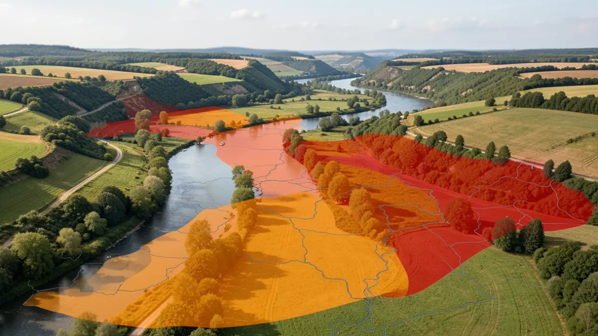
The department of Pyrénées-Atlantiques is under particular surveillance regarding flood risks. The DREAL Nouvelle-Aquitaine has released maps detailing scenarios for several waterways.
Regarding the monitored section "Nivelle", the situation is currently ongoing. For the "Nive" section, an Orange level flood scenario has been produced between Ossès and Bidarray, reaching 5.13m on the Ossès station scale, corresponding to the July 2014 flood.
For the "Gave d’Oloron" section, five height scenarios have been modeled between Oloron-Sainte-Marie and Leren, based on the station scales of Escos and Oloron-Sainte-Marie. These scenarios range from Orange events (3.60m at Escos and 3.55m at Oloron-Sainte-Marie for the first) to Red events, with the most extreme predicting 7.40m at Escos and 6m at Oloron-Sainte-Marie.
A mapping of the flooded area following the June 2018 flood on the "Gave de Pau Béarnais" (11.40m on the Orthez scale) has been carried out between Cauneille and Sorde l’Abbaye in Orthez.
Similarly, the June 2018 flood on the "Gaves réunis" (5.62m on the Peyrehorade scale) has been mapped between Sainte-Marie-de-Gosse and Oeyregave.
Finally, for the "Saison" section, five height scenarios have been produced between Licq-Athérey and Osserain-Rivareyte, based on the stations of Licq-Athérey and Mauléon. They include Orange and Red events, with the highest predicting 4.45m at Licq-Athérey and 4.85m at Mauléon.