
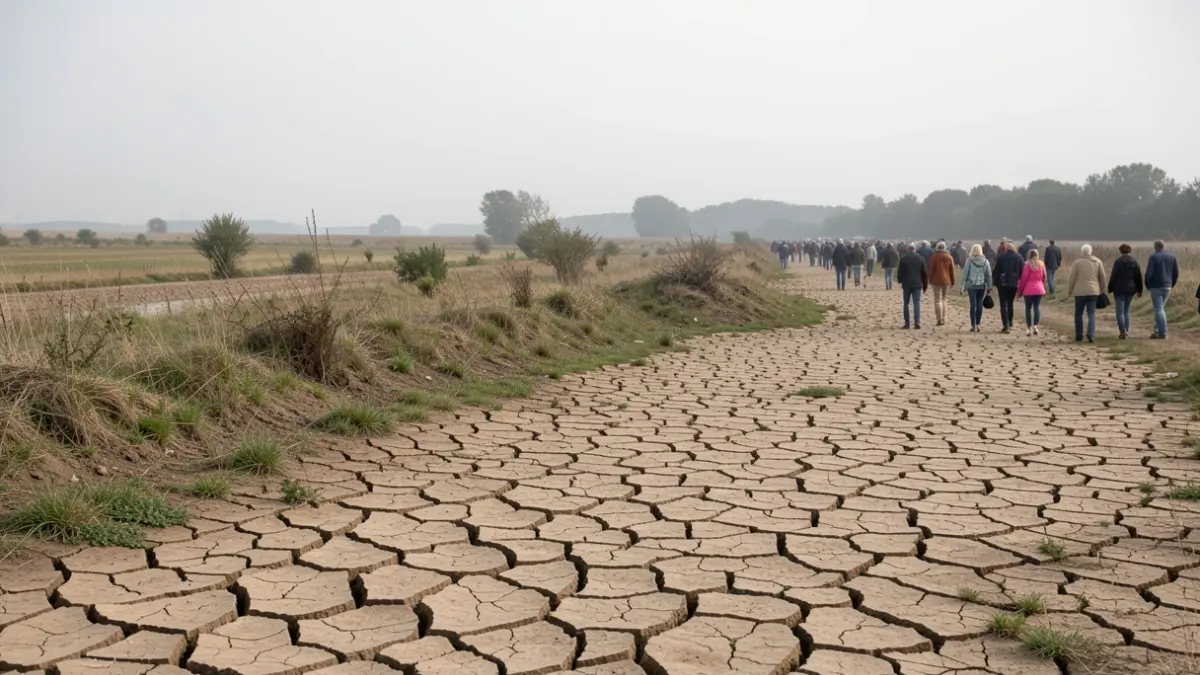
The territory of the Eastern Coastal Basin of Arcachon Bay watershed is now placed at 'Crisis' level since September 30, 2026. This area was already under 'Alert' since July 2, 2026, and 'Enhanced Alert' on July 17, 2026. The ruisseau du Milieu in Audenge, a reference watercourse, is no longer flowing, a first since 2023.
At the 'Crisis' level, restrictions apply to domestic and secondary uses: watering kitchen gardens (forbidden from 8 am to 8 pm), watering lawns, gardens, green spaces, and sports fields (forbidden), filling public and private swimming pools (forbidden), and washing vehicles or exterior cleaning (forbidden). Agricultural withdrawals are also prohibited.
Data from the National Portal for Access to Groundwater Data (ADES) confirms a 'very low' level of groundwater tables between Lanton and Biganos. In Lanton, the Blagon piezometer recorded in September 2026 the lowest minimum depth (-2.8m) since 1968.
The entire territory of the Leyre SAGE and the Regional Natural Park is also under a 'Vigilance' level for drinking water, encouraging water saving without restrictions. The Landes have also implemented a 'Vigilance' level for aquifers (wells and boreholes).
Flow rates of the Leyre river and its tributaries remain particularly low at the end of September. In Salles (Grande Leyre), the flow rate is 4.87 m³/s, close to the QMNA5 (5.15 m³/s). The historical minimum at this station dates back to September 2003 (3.73 m³/s). In Pissos, the flow rate is 1.86 m³/s, above the QMNA5 (1.57 m³/s) but still low. The minimum was recorded in September 2019 (1.26 m³/s). In Belhade (Petite Leyre), the flow rate is 0.92 m³/s, slightly below the QMNA5 (0.95 m³/s), with the lowest recorded at 0.714 m³/s in September 2012.
These flow rates are approaching or falling below the levels characteristic of five-year low flows. A disparity is observed between the ruisseau du Bouron in Belin and the ruisseau du Castéra in Moustey. The former, with a smaller watershed located in an area affected by fires in 2022, maintains its groundwater levels better, with only a 5% monthly flow rate decrease over 60 years of measurements. The latter, in a sylvicultural and agricultural area less impacted by fires, experiences a significant 70% monthly average flow rate decrease over 60 years, potentially due to water pressures and successive droughts.