
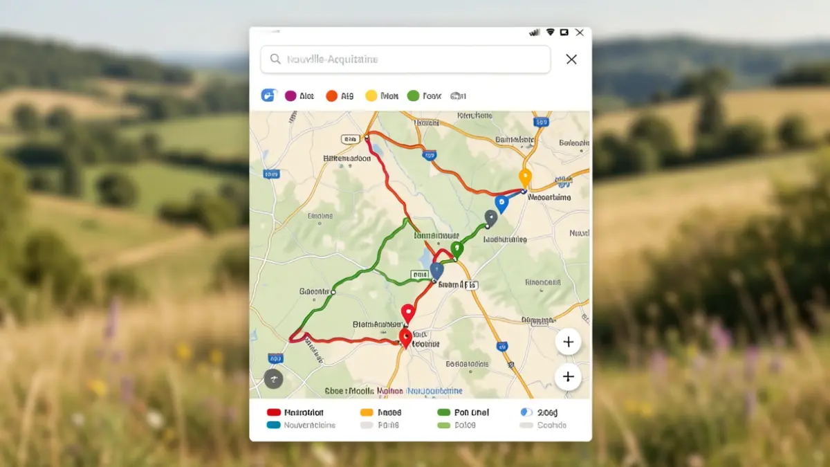
Nature and hiking enthusiasts can now explore the circuits offered by Grand Poitiers through an improved web page. A dynamic map allows for the visualization of all available routes across the urban community's municipalities.
Each circuit is marked with a specific color code indicating its difficulty level, making it easier to choose the most suitable walk for everyone. The map also includes a search engine and provides detailed information on duration, difficulty, points of interest, and the GPX file for each route.
Whether on foot or by bike, hikers can traverse varied landscapes and observe local wildlife, such as roe deer, foxes, or grey herons.
To report a faulty piece of equipment or incorrect signage on a trail, you can contact the dedicated service by email at randonnees@grandpoitiers.fr.